A Vision Beyond The Vineyards Napa County Case Study
Introduction
In the picturesque Napa County, where vineyards blend with innovative thinking, the Napa County Assessor’s Office, under the leadership of Assessor John Tuteur, embarked on a transformative journey to enhance its property assessment capabilities.
Eager to embrace modern technology, the office decided to transition from a traditional CAD system to a sophisticated GIS solution. This move aimed to refine workflows, boost efficiency, and leverage advanced spatial analysis to better serve the county’s needs.
This transition is also part of a broader county-wide initiative to integrate GIS technology, reflecting its growing importance in improving data management and operational efficiency across Napa County.
Challenge
California law, specifically Section 215 of the California Government Code and Taxation Code, requires that county assessors maintain accurate and current maps to ensure fair property assessments. Napa County’s traditional CAD system, while functional, began to show limitations in meeting these demanding standards.
Managing and updating property boundaries and assessments was growing more challenging and resource-intensive. Recognizing these issues, the office knew it needed a solution offering greater integration and advanced spatial analysis to address these challenges effectively.
The Implementation
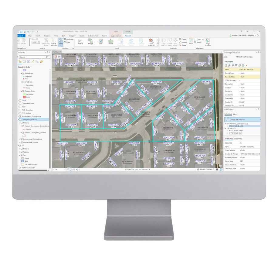
The implementation process was meticulously planned and executed. Laura Tierrafria and other Napa County team members played a crucial role in overseeing the migration from CAD to GIS. The transition involved collaboration with GIS experts to ensure a smooth integration of ArcGIS Parcel Fabric into existing workflows. Tailoring the system to meet Napa County’s needs and legal requirements, including those in Section 215, was a key focus throughout this phase.
The Results
Increased Efficiency: The GIS system brought notable improvements in efficiency.
Enhanced Accuracy: ArcGIS Pro’s advanced tools significantly improved data accuracy and reliability.
Advanced Spatial Analysis: The GIS platform will enable the County to perform detailed spatial analysis, leading to more insightful reporting.
Improved Collaboration: The transition to GIS also fostered improved collaboration and is facilitating data sharing among departments for a foundational county GIS dataset.


The Solution
Under the leadership of John Tuteur, Napa County’s Assessor, the office chose to transition to ArcGIS Pro and ArcGIS Parcel Fabric. This decision was driven by the need for a robust, scalable, and integrated system capable of enhancing property data management and ensuring compliance with Section 215. Partnering closely with the Napa County Assessor’s Office, Sidwell provided essential expertise throughout the transition, guiding the team through data conversion, migration to ArcGIS Pro, and system implementation. Sidwell’s tailored training equipped Napa’s staff with the skills needed to maximize GIS capabilities, ensuring a smooth transition that continues to support efficient, accurate property assessments county-wide.

Sidwell’s team worked closely with both staffs to ensure a smooth transition within a tight timeframe required for the closing of the 2025 assessment roll in June 2024.

This shift is also part of a larger county-wide effort to incorporate GIS technology into various departments, highlighting its growing role in improving data management and operational efficiency.


