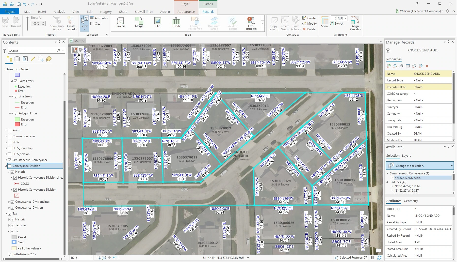
Parcels are the most vital spatial components of a local government GIS. Optimal parcel accuracy and integrity are critical for successful support of multiple offices utilizing GIS. The Esri ArcGIS Parcel Fabric solution provides a data modeling solution to fulfill requirements for efficient maintenance, powerful analysis, and end-user deployment of your parcels.
Parcel Fabric Benefits:
-
-
- Track geometry history and group changes
- Provide a measurement-based approach to managing parcel data
- Utilize powerful adjustment routines to improve data accuracy
- Enable quick, basic tools for split, merge, and COGO entry
- Best practice templates and workflows for managing your cadastral data
-
Why Choose Us?
-
-
- Our staff has the most experience in the industry with migrations
- We pride ourselves on our attention to detail when cleaning data
- The integrity of our data is unmatched
- We have over 50 years of experience in land records management
- Our methodology has developed from tried and true practices
- We understand each client is unique and cater to that, using existing business rules
-

