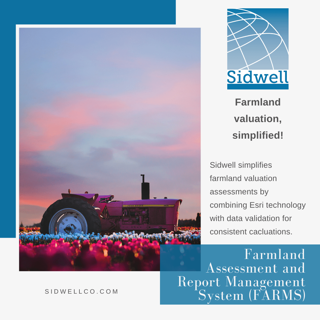
Is your farmland assessment process in need of an overhaul? Let Sidwell help modernize it by updating your soils and land use GIS layers. Add additional simplicity to the process by utilizing Sidwell’s Farmland Assessment and Report Management System (FARMS), which combines Esri technology with comprehensive data validation and reporting features, to give your county consistent and reproducible calculations.
Benefits include:
- Automatic and reliable calculations for agricultural parcels
- Inclusion of multiple, spatially accurate land use delineation factors
- Assess acreage to map acreage with built-in cross references
Integrate with Portico to take advantage of additional benefits, including soil reports and other factors that determine assessed value. Watch how it works: